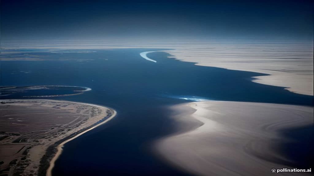
The confluence of the White and Blue Nile at Khartoum is the geographic junction where two major tributaries combine to form the Nile proper. Remote-sensing imagery (Galileo, ASTER/Terra, MISR) repeatedly identifies Khartoum by this confluence and documents seasonal and exceptional hydrological change. The White Nile is characterized in sources by its pale color from clay sediment; the Blue Nile contributes large seasonal inflows from the Ethiopian highlands. Satellite captions and imagery from 2000–2001 show rising waters and seasonal width changes, while an ASTER/Terra caption from August 30, 2001, reports river levels at their highest in more than 20 years with roughly 70,000 acres inundated and about 7,000 families displaced. Reported phenomena in the source material are explicitly hydrological and environmental rather than supernatural: clear seasonal fluctuation of river extent visible from space, and exceptional flooding with associated agricultural inundation and displacement. The confluence is closely tied to regional agriculture (the Gezira irrigation plain, Sennar/Makwar Dam on the Blue Nile) and thus to livelihoods and food security; the 2001 floods prompted increased humanitarian concern. The provided sources do not record folklore, named spirits, apparitions, or other paranormal claims tied to the confluence, and treat observed effects as natural processes explained by sediment load, seasonal rains, and catchment hydrology. Because the available material is geographic, hydrological, and remote-sensing in focus, any notion of "ominous currents" or a haunting at the confluence is not supported by the cited sources and would require separate ethnographic or folkloric evidence.
Community Record
- [1]White Nile (Wikipedia). Wikipedia, entry 'White Nile' (description of White Nile etymology and sediment characteristics).wiki
- [2]VE-IMG-615: Northeast Africa and the Arabian Peninsula (Galileo image description). Archive.org: Galileo image description identifying Khartoum at the confluence of the Blue Nile and the White Nile (1992).other
- [3]Flooding Along the Nile River (ASTER/Terra image caption, Aug 30, 2001). Archive.org: ASTER/Terra image caption noting 2001 floods, "river levels are the highest in more than 20 years," ~70,000 acres inundated and ~7,000 families displaced.other
- [4]Nile River Fluctuations Near Khartoum, Sudan (MISR/Terra imagery). Archive.org: MISR/Terra imagery and caption documenting seasonal fluctuation of Nile waters around Khartoum in 2000–2001 and noting El Gezira plain and Sennar/Makwar Dam.other